
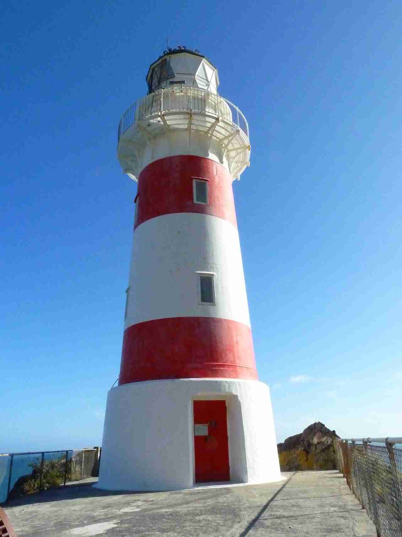
Cape Palliser Lighthouse is a red-and-white banded tower at the southern tip of the North Island, reached by a steep flight of 258 steps. First lit in 1897, it stands above the North Island’s largest breeding colony of New Zealand fur seals, at the end of a long coast road past the fishing village of Ngawi. It sits, oddly enough, further south than the top of the South Island.
| First lit | 1897 |
| Steps to the tower | 258 |
| Tower height | 18 metres |
| Focal height | 78 metres above sea level |
| Light | Two white flashes every 20 seconds |
| Range | About 26 nautical miles, roughly 48 kilometres |
| Automated | 1986 |
| Region | South Wairarapa |
| Access | Public. Sealed road to Ngawi, then gravel to the car park and 258 steps |
History
The cast-iron tower was prefabricated and first lit in 1897, marking the dangerous southern corner of the North Island for shipping in and out of Wellington and Cook Strait. Its white and red horizontal bands are a daymark, a pattern that helps sailors tell it apart by day. It is one of only three banded lighthouses in New Zealand, alongside Dog Island and Cape Campbell. The steps that climb to it were built in 1912, replacing a rough track up the cliff. It was automated in 1986 and still uses its original 1897 lens.
The tower and the view
Standing 18 metres tall with its light 78 metres above the sea, it flashes twice every 20 seconds and can be seen for about 26 nautical miles, roughly 48 kilometres. Cape Palliser is the southernmost point of the North Island, which produces a favourite piece of New Zealand trivia, because from up here you are further south than Nelson and Blenheim across Cook Strait.
Explore the data. See how Cape Palliser fits with every other light around the coast, with build years, heights and access notes, on our interactive New Zealand lighthouses map.
The 258 steps and the seals
The lighthouse sits at the top of 258 steps up the cliff, a short but steep climb rewarded with a wide view along the coast. Below and along the last few kilometres of road is the North Island’s largest breeding colony of New Zealand fur seals. They lie about on the rocks close to the roadside, so you can see them easily, but keep at least 20 metres back, never get between a seal and the sea, and keep dogs away.
Visiting Cape Palliser Lighthouse
The cape is the end of Cape Palliser Road, which runs from the Lake Ferry turn-off past Ngawi, a fishing village known for the bulldozers and tractors lined up on the beach to haul boats in and out. The road is sealed as far as Ngawi and gravel for the last stretch. Allow about an hour from Martinborough. Around halfway along, the Putangirua Pinnacles are worth a stop, the eerie rock spires that stood in for the Paths of the Dead in The Lord of the Rings.
Frequently asked questions
How many steps are there at Cape Palliser Lighthouse?
258 steps climb the cliff from the car park to the tower. They are steep but short, and the view along the coast from the top is worth it.
Can you see seals at Cape Palliser?
Yes. The cape has the North Island’s largest breeding colony of New Zealand fur seals, scattered on the rocks along the last few kilometres of road and below the lighthouse. Keep at least 20 metres away and never get between a seal and the sea.
Is Cape Palliser the southernmost point of the North Island?
Yes, and it is further south than the top of the South Island, so from the lighthouse you are south of Nelson and Blenheim across Cook Strait.
Related guides and sources
- New Zealand Lighthouses Explorer, our interactive map of every major light around the coast.
- Department of Conservation on watching New Zealand fur seals safely.
- Maritime New Zealand on the Cape Palliser light.
Make a day of it. Cape Palliser rounds off a full day from the Wairarapa, taking in the wine village of Martinborough, Lake Ferry, the fur seal colony and the Putangirua Pinnacles walk on the way.