
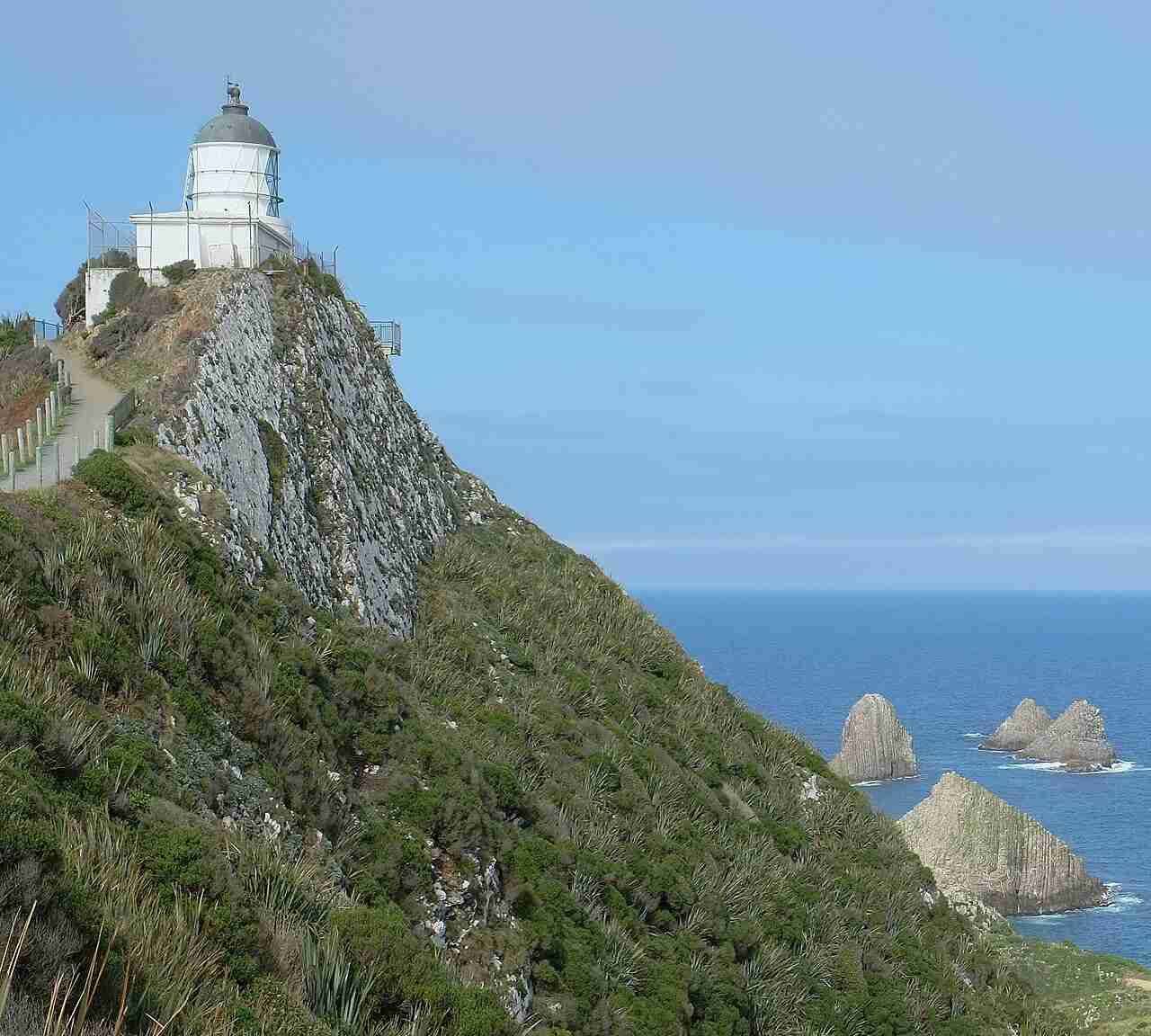
Nugget Point Lighthouse stands on a narrow headland at the south-eastern corner of the South Island, above a scatter of wave-worn rock islets called the Nuggets. It was first lit in 1870, is a short nine-metre stone tower with its light 76 metres above the sea, and has been automated since 1989. An easy walk of about 20 minutes return leads to a viewing platform beside it, and it is one of the most photographed spots on the Catlins coast.
| Built | 1869 to 1870, first lit 4 July 1870 |
| Tower height | 9 metres |
| Focal height | 76 metres above sea level |
| Light | Flashing white every 12 seconds |
| Range | About 10 nautical miles, roughly 18 kilometres |
| Automated | 1989, solar-powered since 2020 |
| Region | The Catlins, Clutha district, Otago |
| Access | Public. Sealed road to the car park, then about 20 minutes return on foot |
| Operator | Maritime New Zealand |
History
The lighthouse was built between 1869 and 1870 and first lit on 4 July 1870, to mark the dangerous headland and the rocks scattered below it near the approach to the Clutha River mouth. Its tower was built from locally quarried stone and is one of the oldest lighthouses still standing in New Zealand. Keepers lived at the isolated station until the light was automated in 1989, and it was converted to solar power in 2020.
The tower and the Nuggets
The tower is short, about nine metres, but sits high on the headland so its light is 76 metres above the sea. It flashes white every 12 seconds and can be seen for about 10 nautical miles, roughly 18 kilometres. The rock islets below take their name from Captain James Cook, who thought they looked like lumps of gold. A colony of New Zealand fur seals hauls out on the rocks beneath the point, and royal spoonbills and other seabirds are often about.
Explore the data. See how Nugget Point compares with every other light around the coast, with build years, heights and access notes, on our interactive New Zealand lighthouses map.
Visiting Nugget Point Lighthouse
From the car park at the end of the road, a well-formed path runs along a narrow clifftop ridge to a viewing platform beside the lighthouse, about 20 minutes there and back. It is easy enough for all ages, with a railed platform at the end, though the drop-offs on either side of the ridge mean children should be kept close. The car park has toilets and picnic tables. Bring a warm layer, because the point is exposed, and note that drones are not allowed.
Yellow-eyed penguins at Roaring Bay
About 800 metres before the main car park, a separate stop leads to a viewing hide above Roaring Bay, a short walk of around 20 minutes return. This is one of the more reliable places on the mainland to see the endangered yellow-eyed penguin, or hoiho, which come ashore in the late afternoon. Stay in the hide, keep quiet, and do not go down onto the beach after 3pm, when the penguins are landing.
Frequently asked questions
How long is the walk to Nugget Point Lighthouse?
About 20 minutes return on a well-formed clifftop path from the car park to the viewing platform beside the lighthouse. It suits all ages, but the ridge has steep drop-offs on both sides, so keep children close.
Can you see penguins at Nugget Point?
Yes. A viewing hide above Roaring Bay, about 800 metres before the main car park, is one of the better mainland spots to see yellow-eyed penguins, or hoiho, as they come ashore in the late afternoon. Stay in the hide and keep off the beach after 3pm.
Can you go inside Nugget Point Lighthouse?
No. The tower is an active automated light and is closed to the public, but the path takes you right up to it and to the viewing platform alongside.
Related guides and sources
- New Zealand Lighthouses Explorer, our interactive map of every major light around the coast.
- Department of Conservation on the Catlins and the Nugget Point walk.
- Maritime New Zealand on the Nugget Point light.
Make a day of it. Nugget Point sits on the Southern Scenic Route through the Catlins. Combine it with the penguin hide at Roaring Bay, the seaside village of Kāka Point just up the road, and the waterfalls and beaches further along the coast.